3D Photo Tours and Digital Twins in London and the South East

Need a 3D Photo Tour or Digital Twin?

Send us your site details, project brief and any access requirements. Our team will review your requirements and advise the most suitable 3D capture approach.

Enquire Now
If you have any supporting documents, please upload them using the form field below.
London Experts
Detailed Reports
TSA Accredited
Competitive Rates

3D 360-DEGREE PHOTO TOURS: USING REALITY CAPTURE TO GATHER INFRASTRUCTURE DATA.

Using market leading 3D scanners and software to capture the entire environment around the scanner, resulting in high-quality, immersive 360 imagery. Before breaking ground on any new project, we can survey the building or plot of land using the latest 360-degree camera technology creating a seamless 4K high definition digital twin of the entire site.

Scope Surveys Ltd

EFFORTLESSLY INVESTIGATE, CAPTURE AND ASSESS BUILDINGS AND SPACES.

Our immersive 360-degree photo tour service provides architects, project managers, site managers, quantity surveyors, designers, security managers and other stakeholders with a virtual, immersive and panoramic 3D photo tour. This enables them to navigate and walk through their building or site remotely. Fast and accurate, the digital rendering of physical spaces, provides a real insight which brings a project to life, enabling rapid informed decision-making and data sharing without visiting the site.

OUR 3D CAPTURE SERVICES IN LONDON

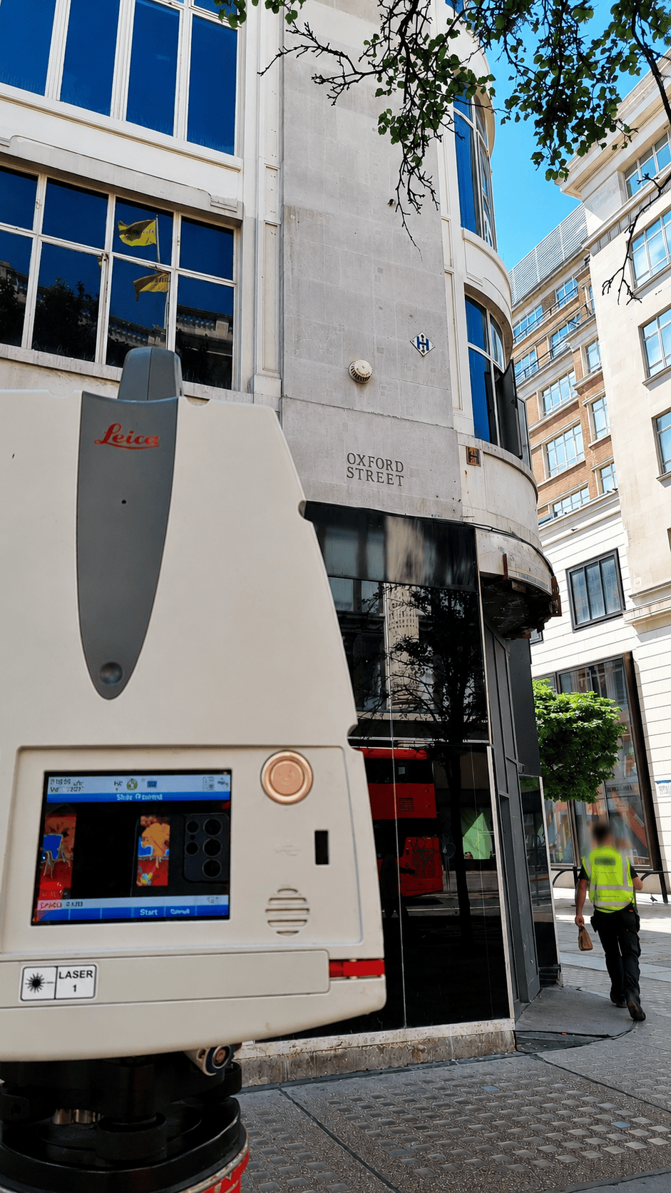
Scope Surveys offers 3D capture services that satisfy virtual tours and digital twin creation. Using Matterport & Leica capture devices, which employ infrared and LiDAR technology, allows us to create a 3D copy of interior and exterior spaces. This 3D copy can be used purely as an immersive walk-through environment or enhanced with tags to add information in the form of text, documents, images, videos, and links to additional sources.

Our 3D capture services provide a full 3D doll house view, which can be invaluable for user navigation compared to many 3D virtual tours solutions. The captured data can also provide floor plan schematics and 3D point cloud data, making our service cost-effective.

Our clients have diverse needs, and our 3D capture services are tailored to meet their specific requirements, whether for marketing, property management, industrial, or construction and BIM processes.

At Scope Surveys, we pride ourselves on our commitment to delivering high-quality services that meet the unique needs of our clients. Contact us today to learn more about our 3D capture services and to request a quote.

Hear from our clients

Trusted by architects, project managers, developers, contractors and property professionals for clear, shareable 3D site records and immersive digital twin outputs.

What are the Benefits of Digital Twin

Our 360-degree 3D digital photo tours offer a number of benefits, including:

  • Visualise all areas and every detail of a property or piece of land.
  • Monitor construction work progress.
  • Eliminate time-consuming and expensive site visits.
  • Enables information sharing among key project personnel.
  • Minimise travel to and from sites, reducing carbon emissions.
What Are The Benefits

Scope Surveys Ltd

3D PHOTO TOUR REQUIRED?

Got a 3D Photo Tour project or requirement within Greater London or the South East? If you’d like further information on how Scope Surveys can assist you with 3D Photo Tours, please contact us below and we’ll respond within 24 hours. Alternatively, call us now on 020 8771 3477.

FAQs

Find out more information about 3D Photo Tours provided by Scope Surveys.

What is a 3D virtual tour or digital twin, and how does it benefit AEC projects

A 3D virtual tour, also known as a digital twin, is an immersive tool crucial for architecture, engineering, and construction (AEC) project managers. It offers a smart, quick, and efficient method for documenting potential job sites, facilitating project planning and execution.

Using advanced 3D scanners and software, the service captures high-quality, immersive 360 imagery of environments. This technology is employed before commencing new projects to survey buildings or land, creating a seamless 4K high definition digital twin of the site.

Scope Surveys employs Matterport & Leica capture devices, utilizing infrared and LiDAR technology, to create detailed 3D copies of spaces. These can be enhanced with informational tags and provide a comprehensive dollhouse view, floor plans, and 3D point cloud data, tailored for various client needs including marketing, property management, and BIM processes.