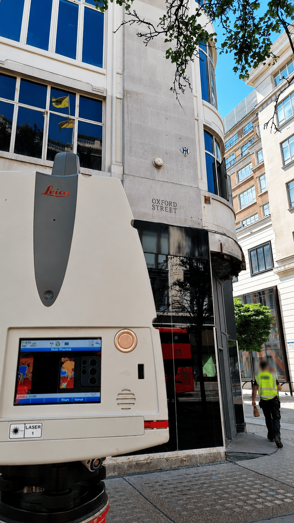
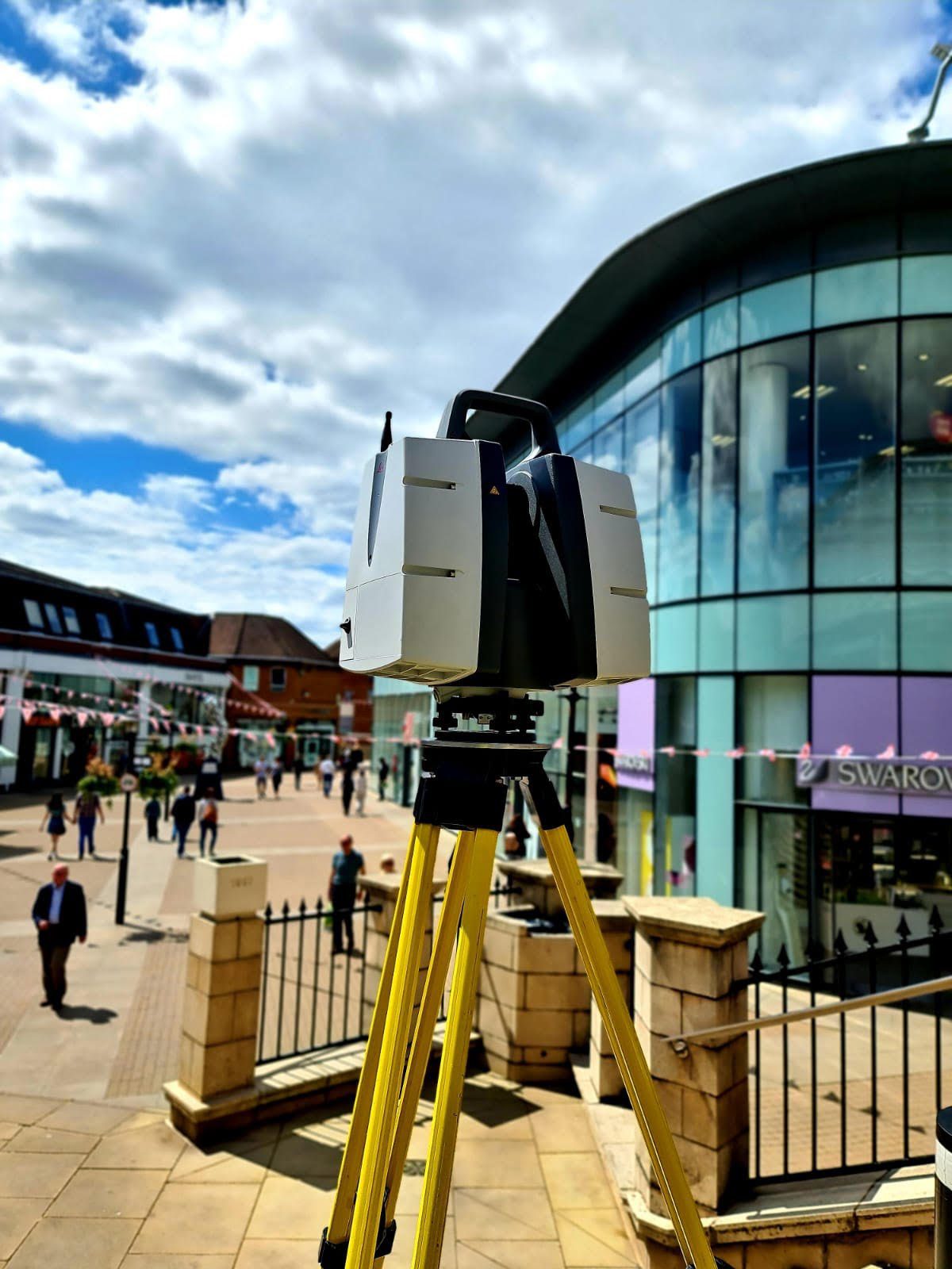
Going to Windsor is not just about going to visit the castle for our team. In fact we have had a few projects in that remarkable town this year, the most recent being a couple of weeks ago. One of the Scope Surveys teams went to Windsor to complete a Scan to BIM project for one of our clients. This project was an extension of one we completed for the same client in 2021. Our very experienced survey team were scanning on a very busy road whilst using the latest technology including Leica P40 and Leica RTC360 laser scanners. Being a relatively large project, they had to collect the data over a few days. Our CAD team is currently working on completing the model. The project also requested that we include elevations and a topographical survey. All the levels were required in GPS Datum, and we used the high precision GNSS GS16 to collect the data.
Our BIM modellers use REVIT or ARCHICAD, with the client choosing the former software on this occasion, to complete the models and the LOD1/LOD2/LOD3/LOD4 are always based on client request.
Delivering jobs on time is our focus at Scope Surveys. We are looking forward to issuing this a few weeks and receiving great feedback from another very satisfied customer.