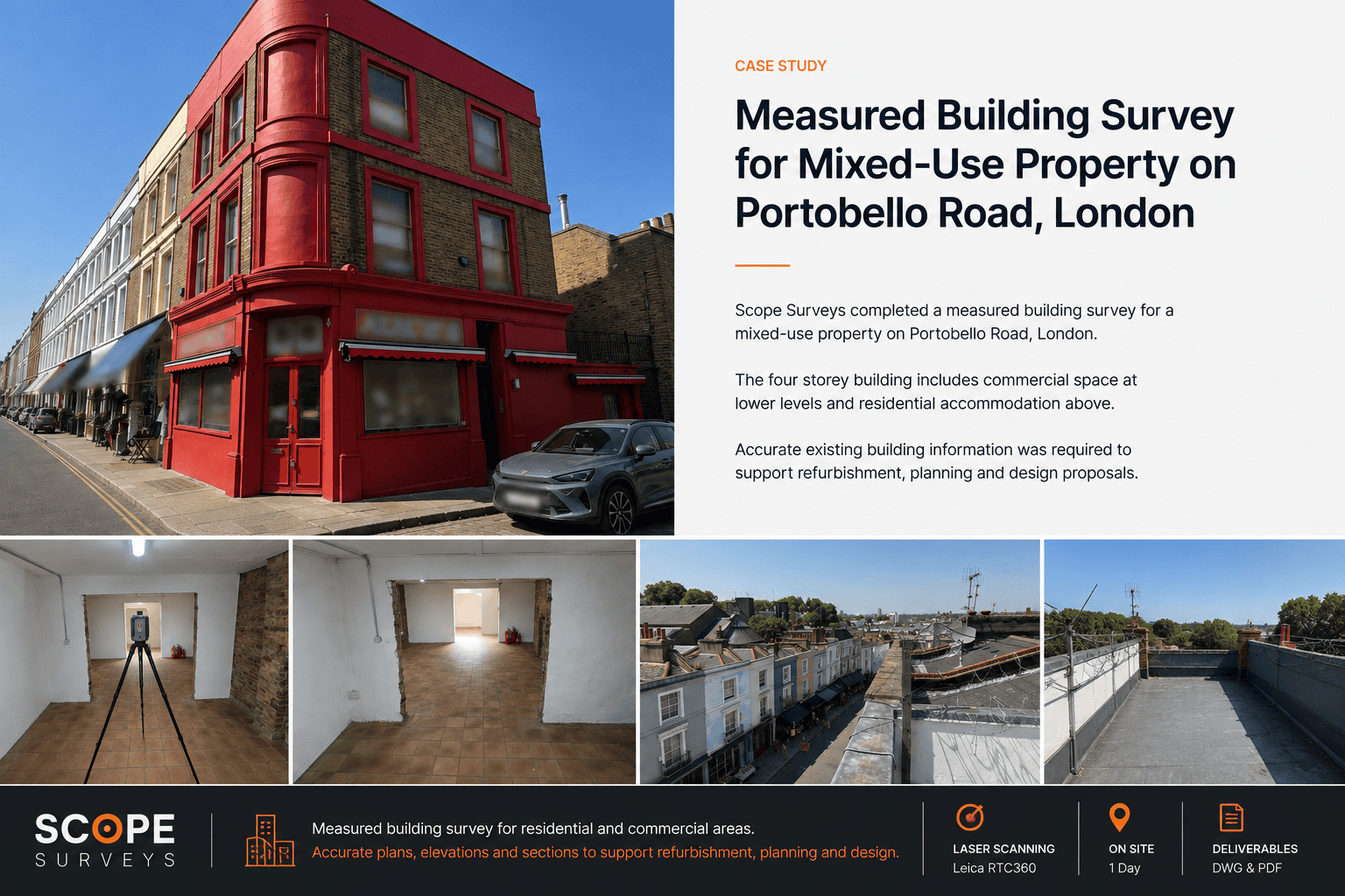
A Measured Building Survey (MBS) is an accurate representation of a building, which shows all the structural and architectural features. The drawings of an MBS can provide valuable information for undertaking residential or commercial extensions of buildings and are helpful for planning and development projects. We used our surveying technology to gather information for an ongoing project which will be explained below.
This week our team has returned to complete Phase 2 of the ‘Air Sourced Heat Pump’ project instructed by Ethical Partnership. We are honoured to be working once again with Ethical Partnership because they are a value-driven company and all their work focuses on sustainability which is also one of Scope Survey’s initiatives. Any opportunity to work towards sustainability is always welcomed by our team.
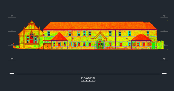
Scope Surveys has worked with Ethical Partnership on other ‘Air Sourced Heat Pump’ projects in the last 18 months, predominantly in school academies across the South-East. This current project called Medway Phase 2 consisted of a total of 20 buildings in the Medway area. These buildings consisted of Country Park Visitor Centres, Children Centres, Sports Centres amongst other community facilities. The role Scope Surveys played is to produce elevation drawings of parts of the buildings, usually the rear in most cases. The elevations are taken so Ethical Partnership can use for the installation of the Air Sourced Heat Pumps. We had our administration team look at the locations that had to be surveyed and put together a game plan to get them done when the conditions were dry and in the most efficient way
As mentioned previously, the purpose of the drawings is to allow Ethical Partnership to proceed with their air source heat pump (ASHP) heating system installation planning. This is a big part of the renewable energy solutions for buildings in Medway Council. Medway Council have declared a Climate Change Emergency plan and strategic vision ‘to have reduced emissions to net zero by 2050 and so they can benefit from a competitive low carbon economy’.
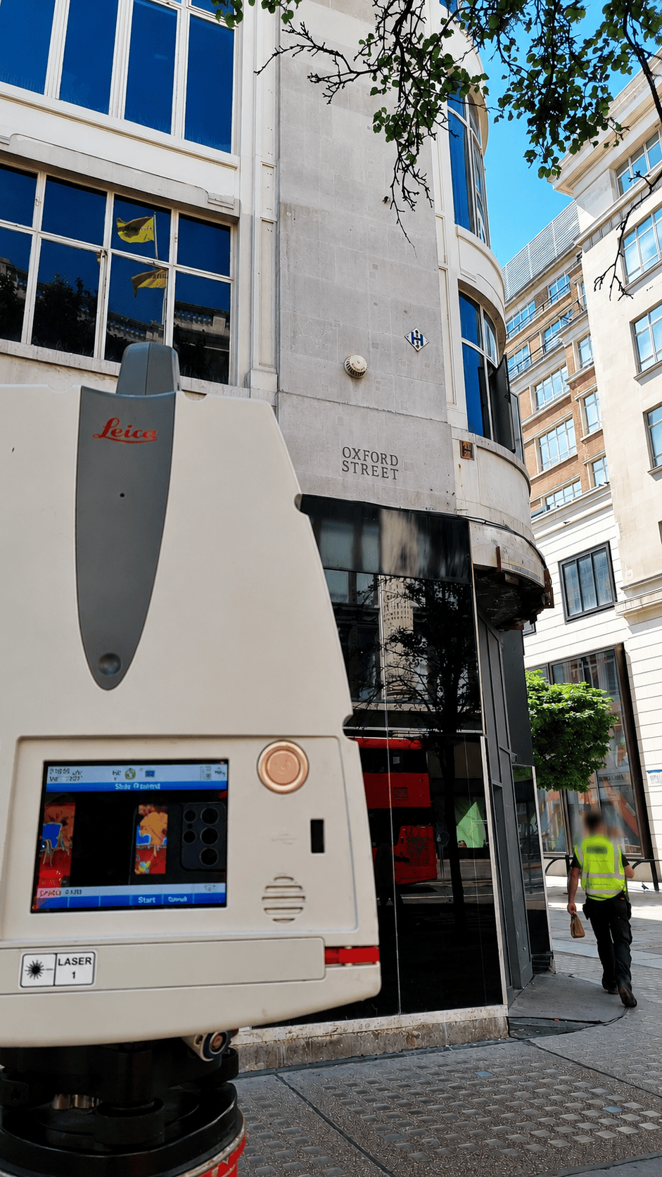
The method we used to complete these elevations were as follows. We always use the latest Leica technology for measured buildings surveys and this project used just that. This includes Leica 3D Laser Scanners, our favourites being P40 and RTC360. They were used to capture exact measurements of the twenty sites.
We are looking forward to the potential of completing more of these projects in the near future. If you would like to know more about this project or require scanning for any of your survey requirements please contact us on info@scopesurveys.co.uk